


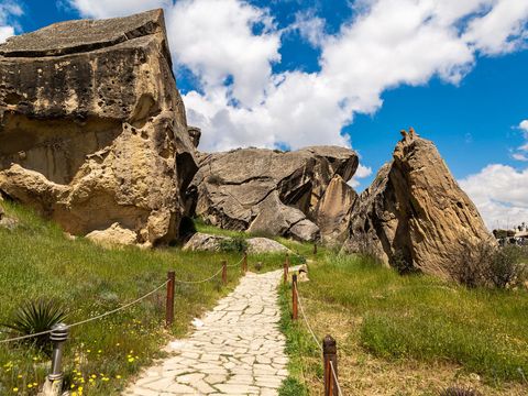
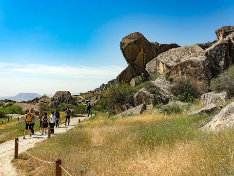
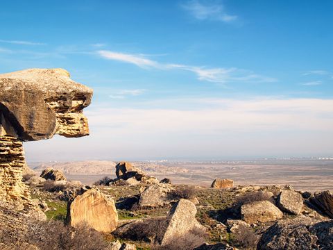
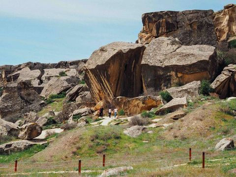
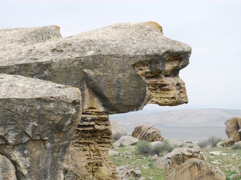
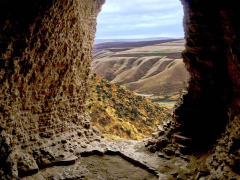


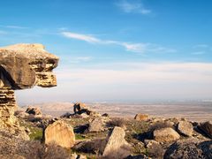


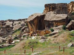
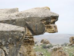

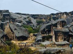
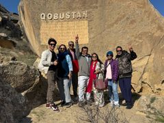
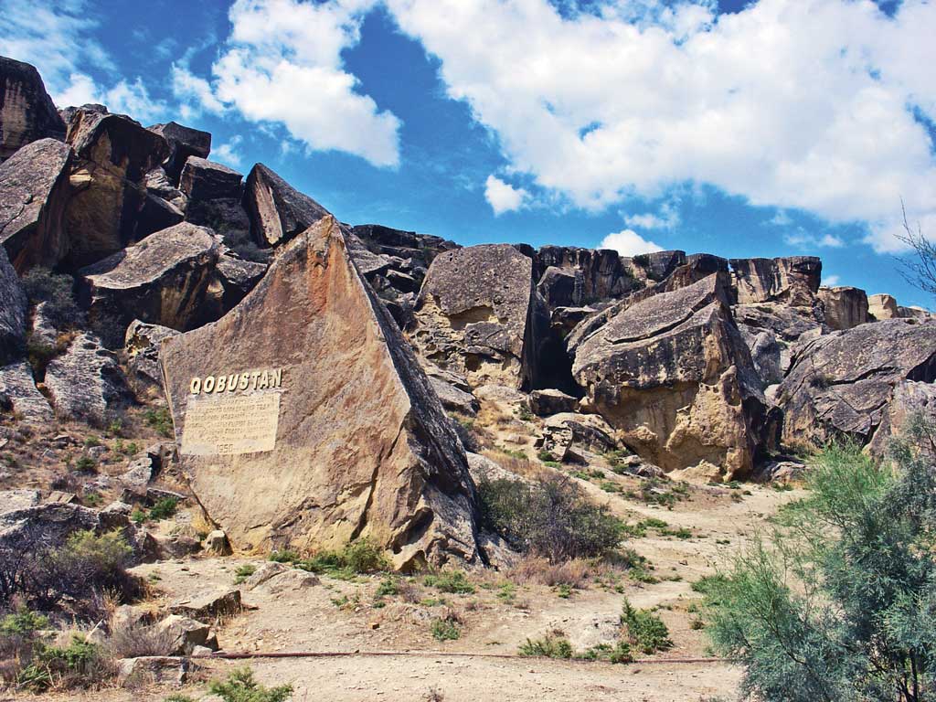
Gobustan National Park is located between the Baku–Shirvan semi-desert belt and the Caspian basin, covering an area of approximately 537 hectares. The landscape consists of:
- Dry semi-desert plains
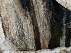
- Rocky plateaus
- Deep ravines and natural shelters
- Volcanic formations and clay domes
The most significant geographical zones within the park are:
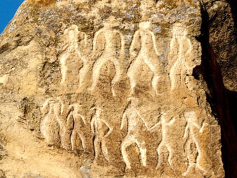
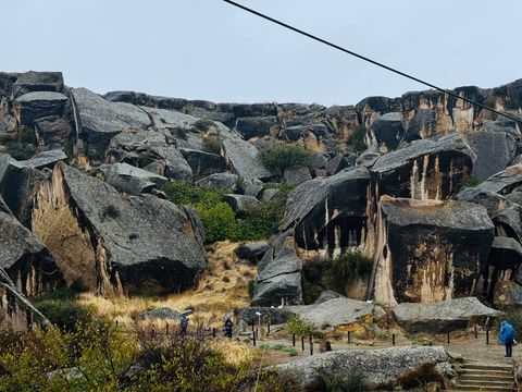
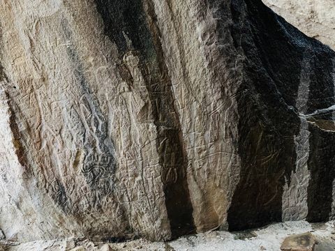
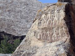
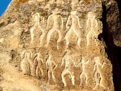
- Boyukdash Mountain – the richest area for petroglyphs and archaeological sites
- Kichikdash Mountain – known for deep caves and ritual engravings
- Jingirdag Mountain – home to prehistoric stone structures and unique carvings
- Shongardag & Shikhgaya – containing open-air symbolic drawings
Climate
Gobustan’s climate is dry, windy, and mild:
- Long, hot summers
- Mild winters
- Very little rainfall
- Clear visibility year-round
This dry climate played a crucial role in preserving the petroglyphs for millennia.